For decades, flood studies have been based primarily on the analysis of historical records of precipitation, river flows and water levels. This information remains essential for understanding catchment behaviour, identifying the most significant events and estimating the probability of future floods.
However, in the context of climate change, the past alone can no longer be considered a reliable representation of a catchment’s hydrological future. Changes in rainfall intensity, the frequency of extreme events and land-use patterns significantly alter catchment response. Therefore, although historical records remain essential, they are no longer sufficient as the sole basis for estimating the probability of future events or adequately characterising flood risk.
This means that the analysis of past conditions must be complemented by the assessment of plausible future scenarios, making it possible to anticipate how river flows and flood-prone areas may evolve and whether existing infrastructure will remain effective in responding and adapting to a changing climate.
More Intense Rainfall and More Extreme Events
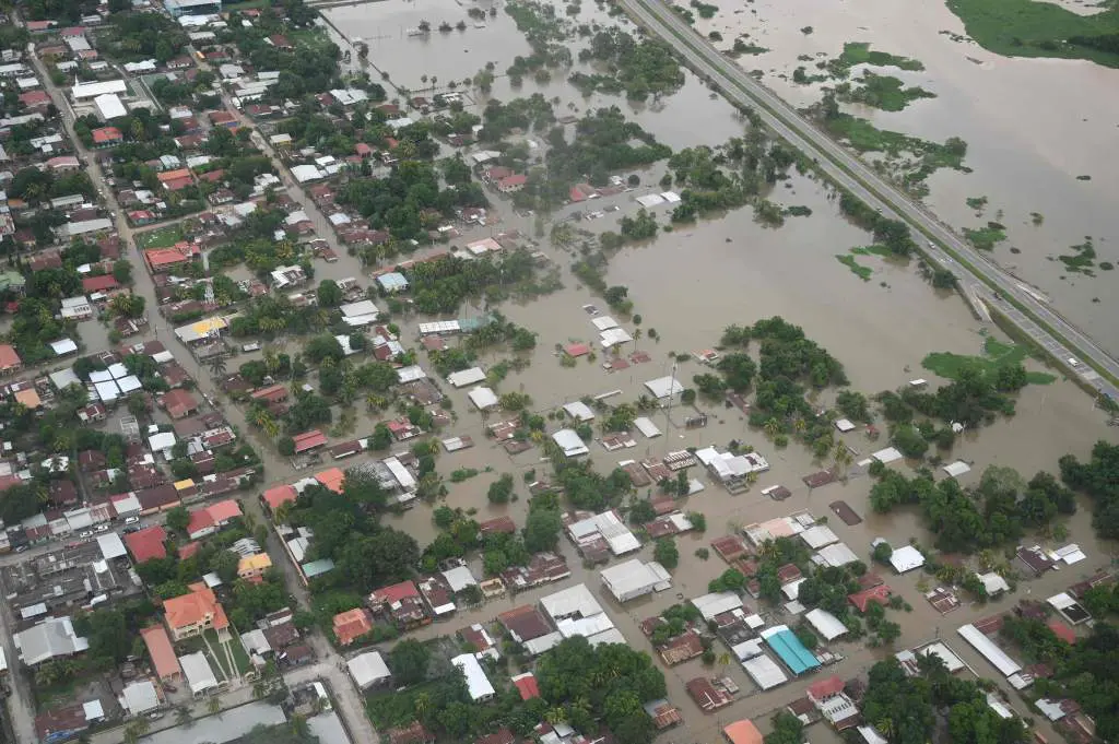
One of the main effects to be considered is the potential change in the intensity and distribution of rainfall. A large amount of rainfall concentrated over a short period can rapidly exceed the infiltration capacity of the ground and generate greater surface runoff. As a result, water reaches watercourses more quickly, peak flows increase and the time available to activate preventive and emergency measures is reduced.
The response will depend on the characteristics of each catchment: slope, geology, vegetation, antecedent soil moisture, degree of urbanisation and land use all influence the transformation of rainfall into runoff. For example, in urban areas, impermeable surfaces reduce infiltration and accelerate the arrival of water at drainage systems. In natural catchments, a succession of rainfall events may saturate the ground, causing a subsequent event to generate a much more intense response.
Therefore, it is not sufficient to analyse accumulated rainfall alone; its duration, temporal distribution, spatial extent and relationship with antecedent catchment conditions must also be considered.
Changes in Flood Frequency
Traditionally, the delineation of flood-prone areas and the design of hydraulic infrastructure have been based on events associated with specific return periods. This approach generally assumes that the statistical conditions observed in the past will remain relatively stable. However, when climatic conditions change, this assumption may no longer hold.
A flood considered infrequent on the basis of historical records could occur more frequently in the future. Likewise, an extreme event could exceed the flows originally used to design an infrastructure asset.
This does not mean that historical records are no longer valid. They remain the starting point for any hydrological study, but they must be complemented by scenarios that allow potential changes in the frequency and magnitude of extreme events to be assessed. For this reason, studies should analyse a sufficiently broad range of situations, including frequent events, extreme floods and future climate-change scenarios.
Increased Flows and Changes in Flood-Prone Areas
An increase in rainfall intensity may result in higher peak flows in rivers, ephemeral watercourses, urban channels and drainage systems. This increase may lead to higher water levels and velocities, flooding in areas that were not previously affected, and greater pressure on bridges, culverts, channelised reaches and other hydraulic infrastructure.
Furthermore, the changes are not necessarily limited to the extent of the flooded area. They may also affect:
- Water depths.
- Flow velocities.
- Flow directions.
- Flood arrival times.
- Duration of inundation.
- Hazard to people, buildings and infrastructure.
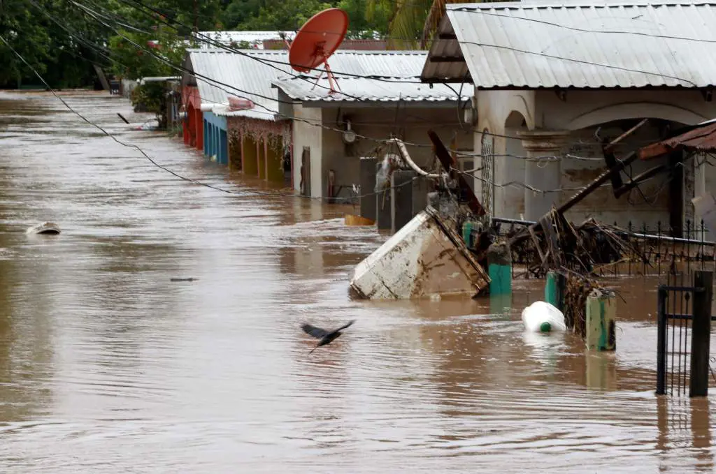
Therefore, a flood map developed solely on the basis of historical conditions may not adequately represent future conditions.
Hydrological and hydraulic modelling makes it possible to analyse these changes by simulating different scenarios. One-dimensional and two-dimensional models reproduce water behaviour in channels and floodplains, helping to identify which areas may be affected, the expected water depths and velocities, and how flood hazard may evolve.
Will Existing Infrastructure Remain Effective?
Many infrastructure assets were designed using the data and criteria available at the time of their construction. Bridges, collectors, drainage systems, channelised reaches, flood defences and flood-storage areas may become less effective if future flows exceed those originally considered.
An infrastructure asset may remain structurally stable while no longer providing the intended level of protection. For example, a bridge with insufficient hydraulic capacity may increase upstream water levels; an urban drainage system may be overwhelmed by more intense rainfall; and a flood defence may prevent flooding in one area while transferring part of the problem to another part of the system.
Infrastructure should therefore not be analysed in isolation. Its performance must be assessed using an integrated catchment-wide approach, considering, among other factors:
- Available hydraulic capacity.
- The safety margin for future events.
- The possibility of blockages or partial failures.
- Upstream and downstream effects.
- The residual risk remaining after implementation of the measure.
This analysis helps to identify critical points and determine whether existing measures need to be adapted, expanded or supplemented.
Adaptation Does Not Only Mean Building More Infrastructure
Climate-change adaptation should not be based exclusively on the construction of new infrastructure. Flood-risk management requires a combination of structural and non-structural measures.
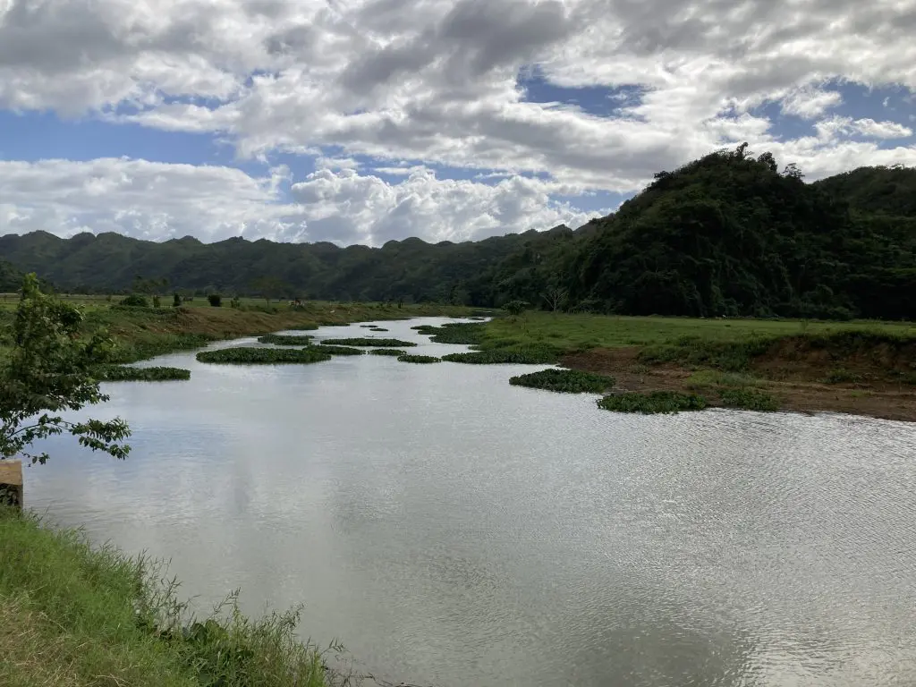
Structural measures include both conventional infrastructure—such as improving drainage systems, increasing the capacity of culverts and crossings, constructing or adapting flood defences, and creating temporary storage areas—and nature-based measures. The latter include actions such as restoring channels and floodplains, rehabilitating wetlands, revegetating riverbanks and restoring river environments to a more natural condition. These measures use natural processes to reduce peak flows, increase flood-storage capacity and provide additional environmental benefits.
Non-structural measures include spatial planning, early-warning systems, emergency plans, regulation of land use in flood-prone areas and other actions aimed at reducing exposure and vulnerability to flooding.
The most appropriate alternative should be selected by considering its ability to reduce flood risk, as well as its economic feasibility, territorial and environmental impacts, and effectiveness under different future scenarios.
Future-Oriented Risk Management
At iPresas, we address flood risk from an integrated, catchment-wide perspective, combining hydrological analysis, hydraulic modelling and quantitative risk assessment. This approach makes it possible to compare current conditions with different future scenarios, analyse how hazards and potential consequences may change, identify the most sensitive areas and infrastructure, and assess the effectiveness of different mitigation alternatives.
Knowledge of the hydrological past remains essential, but it is insufficient on its own to support long-term decision-making. Incorporating climate change into flood studies makes it possible to anticipate problems, review the level of protection provided by infrastructure and move towards safer, more resilient territories that are better prepared for extreme events.